
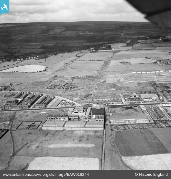
EAW018244 ENGLAND (1948). Mills and houses along Chorley New Road, Horwich, from the south-west, 1948
© Copyright OpenStreetMap contributors and licensed by the OpenStreetMap Foundation. 2026. Cartography is licensed as CC BY-SA.
Nearby Images (9)
EAW018244

EAW018247

EAW018249

EAW018248

EAW018246

EAW018242

EAW018241

EAW018245

EAW018243

Details
| Title | [EAW018244] Mills and houses along Chorley New Road, Horwich, from the south-west, 1948 |
| Reference | EAW018244 |
| Date | 18-August-1948 |
| Link | |
| Place name | HORWICH |
| Parish | HORWICH |
| District | |
| Country | ENGLAND |
| Easting / Northing | 364637, 410505 |
| Longitude / Latitude | -2.5342991647293, 53.589692702978 |
| National Grid Reference | SD646105 |
