
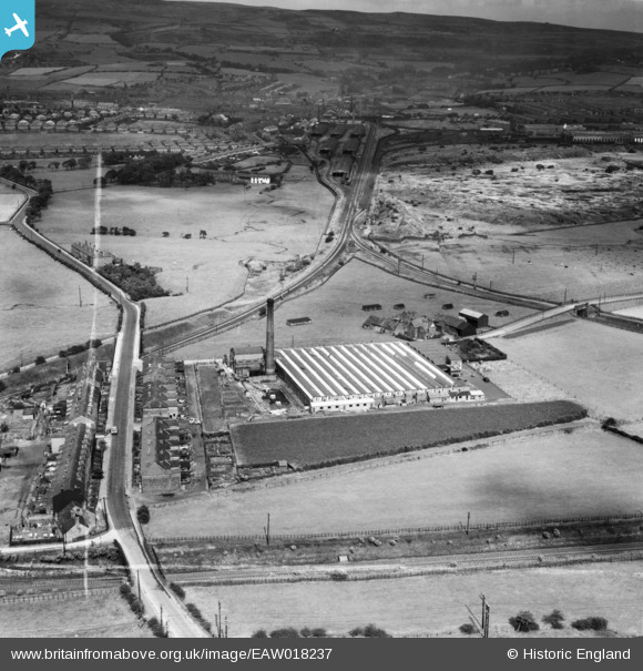
EAW018237 ENGLAND (1948). Blackrod Mill and environs, Blackrod, from the south-west, 1948. This image was marked by Aerofilms Ltd for photo editing.
© Copyright OpenStreetMap contributors and licensed by the OpenStreetMap Foundation. 2026. Cartography is licensed as CC BY-SA.
Nearby Images (8)
EAW018237

EAW018236

EAW018234

EAW018240

EAW018235

EAW018233

EAW018239

EAW018238

Details
| Title | [EAW018237] Blackrod Mill and environs, Blackrod, from the south-west, 1948. This image was marked by Aerofilms Ltd for photo editing. |
| Reference | EAW018237 |
| Date | 18-August-1948 |
| Link | |
| Place name | BLACKROD |
| Parish | BLACKROD |
| District | |
| Country | ENGLAND |
| Easting / Northing | 362550, 410574 |
| Longitude / Latitude | -2.5658382668361, 53.590167987432 |
| National Grid Reference | SD626106 |
