
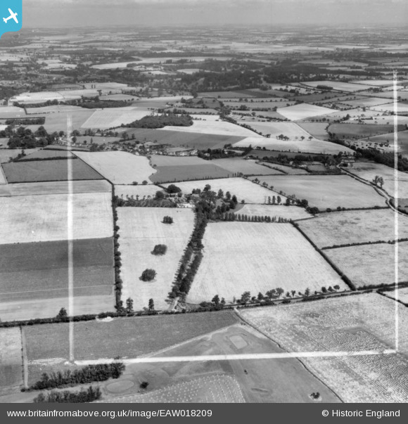
EAW018209 ENGLAND (1948). Blacklands, Bishop's Stortford, from the south, 1948. This image has been produced from a print marked by Aerofilms Ltd for photo editing.
© Copyright OpenStreetMap contributors and licensed by the OpenStreetMap Foundation. 2026. Cartography is licensed as CC BY-SA.
Nearby Images (3)
EAW018209

EAW018203

EAW018204

Details
| Title | [EAW018209] Blacklands, Bishop's Stortford, from the south, 1948. This image has been produced from a print marked by Aerofilms Ltd for photo editing. |
| Reference | EAW018209 |
| Date | 18-August-1948 |
| Link | |
| Place name | BISHOP'S STORTFORD |
| Parish | BISHOP'S STORTFORD |
| District | |
| Country | ENGLAND |
| Easting / Northing | 550979, 221601 |
| Longitude / Latitude | 0.1933318513258, 51.872078145422 |
| National Grid Reference | TL510216 |
Pins

Matt Aldred edob.mattaldred.com |
Friday 14th of October 2022 04:24:42 PM | |
|
Matt Aldred edob.mattaldred.com |
Friday 14th of October 2022 04:23:52 PM | |
|
Matt Aldred edob.mattaldred.com |
Friday 14th of October 2022 04:23:08 PM |