
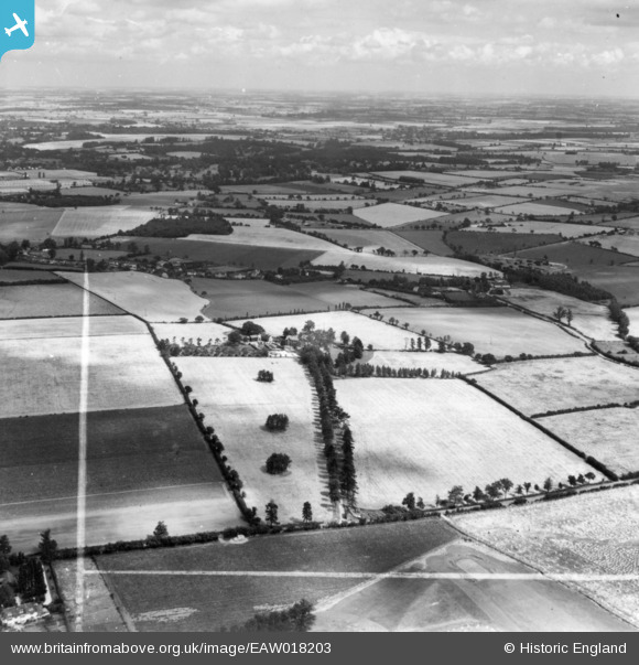
EAW018203 ENGLAND (1948). Blacklands, Bishop's Stortford, from the south-west, 1948. This image has been produced from a print marked by Aerofilms Ltd for photo editing.
© Copyright OpenStreetMap contributors and licensed by the OpenStreetMap Foundation. 2026. Cartography is licensed as CC BY-SA.
Nearby Images (3)
EAW018203

EAW018204

EAW018209

Details
| Title | [EAW018203] Blacklands, Bishop's Stortford, from the south-west, 1948. This image has been produced from a print marked by Aerofilms Ltd for photo editing. |
| Reference | EAW018203 |
| Date | 18-August-1948 |
| Link | |
| Place name | BISHOP'S STORTFORD |
| Parish | BISHOP'S STORTFORD |
| District | |
| Country | ENGLAND |
| Easting / Northing | 550914, 221665 |
| Longitude / Latitude | 0.19241629481884, 51.872670799924 |
| National Grid Reference | TL509217 |
Pins
Be the first to add a comment to this image!