
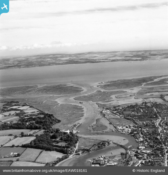
EAW018161 ENGLAND (1948). Lymington River and the town, Lymington, from the north, 1948. This image has been produced from a print.
© Copyright OpenStreetMap contributors and licensed by the OpenStreetMap Foundation. 2026. Cartography is licensed as CC BY-SA.
Nearby Images (3)
EAW018161

EPW022932

EPW022936

Details
| Title | [EAW018161] Lymington River and the town, Lymington, from the north, 1948. This image has been produced from a print. |
| Reference | EAW018161 |
| Date | 16-August-1948 |
| Link | |
| Place name | LYMINGTON |
| Parish | BOLDRE |
| District | |
| Country | ENGLAND |
| Easting / Northing | 433467, 95175 |
| Longitude / Latitude | -1.5255069519996, 50.754636966774 |
| National Grid Reference | SZ335952 |
Pins
Be the first to add a comment to this image!