
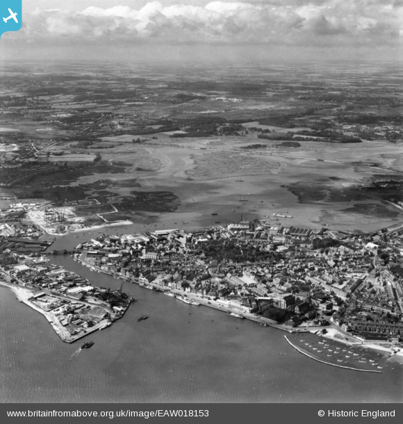
EAW018153 ENGLAND (1948). Lower Hamworthy, Old Town and Holes Bay, Poole, from the south-east, 1948. This image has been produced from a print.
© Copyright OpenStreetMap contributors and licensed by the OpenStreetMap Foundation. 2026. Cartography is licensed as CC BY-SA.
Nearby Images (4)
EAW018153

EPW013632

EAW018152

EPW000274

Details
| Title | [EAW018153] Lower Hamworthy, Old Town and Holes Bay, Poole, from the south-east, 1948. This image has been produced from a print. |
| Reference | EAW018153 |
| Date | 16-August-1948 |
| Link | |
| Place name | POOLE |
| Parish | |
| District | |
| Country | ENGLAND |
| Easting / Northing | 401053, 90245 |
| Longitude / Latitude | -1.9850844462639, 50.711262345382 |
| National Grid Reference | SZ011902 |
