
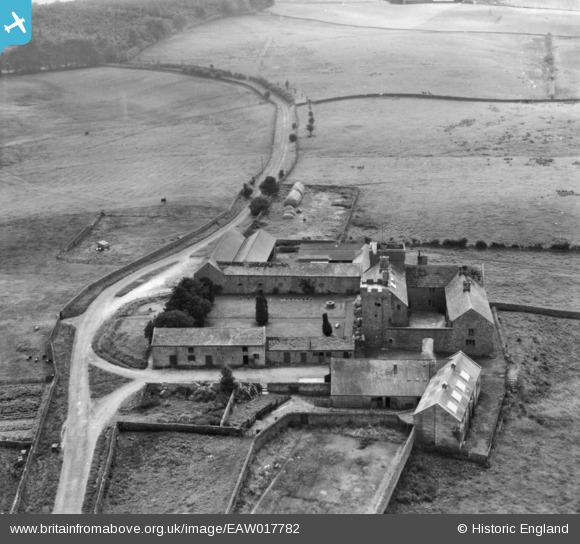
EAW017782 ENGLAND (1948). Askerton Castle, Kirkcambeck, 1948. This image has been produced from a print.
© Copyright OpenStreetMap contributors and licensed by the OpenStreetMap Foundation. 2026. Cartography is licensed as CC BY-SA.
Nearby Images (4)
EAW017782

EAW017780

EAW017781

EAW017783

Details
| Title | [EAW017782] Askerton Castle, Kirkcambeck, 1948. This image has been produced from a print. |
| Reference | EAW017782 |
| Date | 28-July-1948 |
| Link | |
| Place name | KIRKCAMBECK |
| Parish | ASKERTON |
| District | |
| Country | ENGLAND |
| Easting / Northing | 355020, 569225 |
| Longitude / Latitude | -2.7035029457685, 55.015468205895 |
| National Grid Reference | NY550692 |
Pins
Be the first to add a comment to this image!