
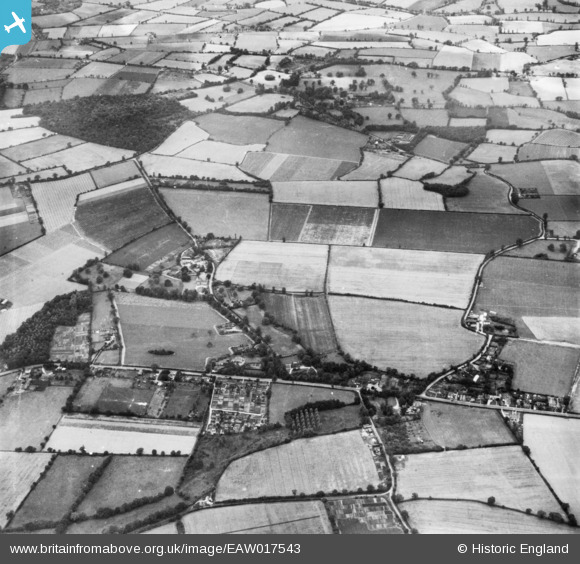
EAW017543 ENGLAND (1948). The village and fields between School Lane and Old House Road, Great Horkesley, 1948. This image has been produced from a print.
© Copyright OpenStreetMap contributors and licensed by the OpenStreetMap Foundation. 2026. Cartography is licensed as CC BY-SA.
Nearby Images (7)
EAW017543

EAW017657

EAW015346

EAW015347

EAW017542

EAW015344

EAW015345

Details
| Title | [EAW017543] The village and fields between School Lane and Old House Road, Great Horkesley, 1948. This image has been produced from a print. |
| Reference | EAW017543 |
| Date | 23-July-1948 |
| Link | |
| Place name | GREAT HORKESLEY |
| Parish | GREAT HORKESLEY |
| District | |
| Country | ENGLAND |
| Easting / Northing | 597391, 230140 |
| Longitude / Latitude | 0.87166170940497, 51.934273056972 |
| National Grid Reference | TL974301 |
Pins
Be the first to add a comment to this image!