
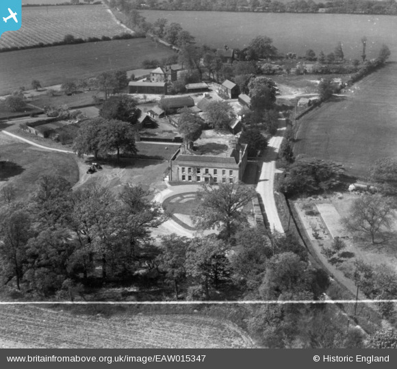
EAW015347 ENGLAND (1948). Old House and Old House Farm, Great Horkesley, 1948. This image has been produced from a print marked by Aerofilms Ltd for photo editing.
© Copyright OpenStreetMap contributors and licensed by the OpenStreetMap Foundation. 2026. Cartography is licensed as CC BY-SA.
Nearby Images (5)
EAW015347

EAW015344

EAW015346

EAW015345

EAW017543

Details
| Title | [EAW015347] Old House and Old House Farm, Great Horkesley, 1948. This image has been produced from a print marked by Aerofilms Ltd for photo editing. |
| Reference | EAW015347 |
| Date | 7-May-1948 |
| Link | |
| Place name | GREAT HORKESLEY |
| Parish | GREAT HORKESLEY |
| District | |
| Country | ENGLAND |
| Easting / Northing | 597485, 229988 |
| Longitude / Latitude | 0.87294012254302, 51.932874669929 |
| National Grid Reference | TL975300 |
Pins
Be the first to add a comment to this image!