
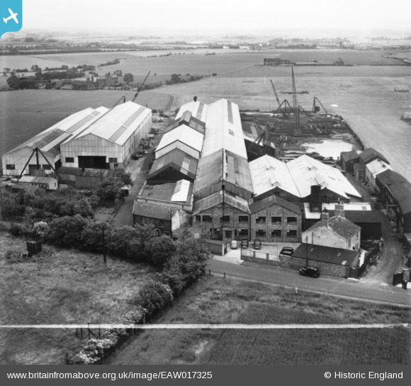
EAW017325 ENGLAND (1948). The Bold Iron Works, Bold, 1948. This image has been produced from a print marked by Aerofilms Ltd for photo editing.
© Copyright OpenStreetMap contributors and licensed by the OpenStreetMap Foundation. 2026. Cartography is licensed as CC BY-SA.
Nearby Images (9)
EAW017325

EAW017322

EAW017324

EAW017326

EAW017321

EAW012301

EAW017328

EAW017327

EAW017323

Details
| Title | [EAW017325] The Bold Iron Works, Bold, 1948. This image has been produced from a print marked by Aerofilms Ltd for photo editing. |
| Reference | EAW017325 |
| Date | 19-July-1948 |
| Link | |
| Place name | BOLD |
| Parish | BOLD |
| District | |
| Country | ENGLAND |
| Easting / Northing | 354788, 392791 |
| Longitude / Latitude | -2.6805416233083, 53.429707958217 |
| National Grid Reference | SJ548928 |
Pins
Be the first to add a comment to this image!