
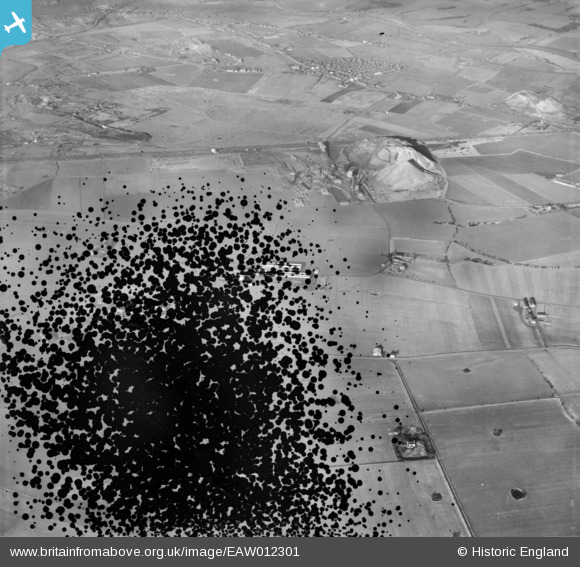
EAW012301 ENGLAND (1947). Bold Colliery, Bold Heath, 1947. This image has been produced from a damaged negative.
© Copyright OpenStreetMap contributors and licensed by the OpenStreetMap Foundation. 2026. Cartography is licensed as CC BY-SA.
Nearby Images (9)
EAW012301

EAW017321

EAW017324

EAW017327

EAW017322

EAW017323

EAW017328

EAW017326

EAW017325

Details
| Title | [EAW012301] Bold Colliery, Bold Heath, 1947. This image has been produced from a damaged negative. |
| Reference | EAW012301 |
| Date | 26-November-1947 |
| Link | |
| Place name | BOLD HEATH |
| Parish | BOLD |
| District | |
| Country | ENGLAND |
| Easting / Northing | 354887, 392836 |
| Longitude / Latitude | -2.6790580142384, 53.430120940474 |
| National Grid Reference | SJ549928 |
Pins
Be the first to add a comment to this image!