
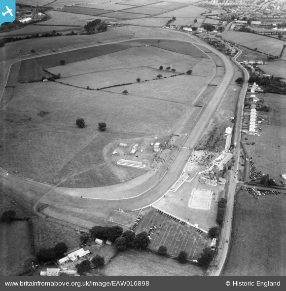
EAW016898 ENGLAND (1948). Carlisle Race Course, Floshes, 1948. This image has been produced from a print.
© Copyright OpenStreetMap contributors and licensed by the OpenStreetMap Foundation. 2025. Cartography is licensed as CC BY-SA.
Nearby Images (5)
EAW016898

EPW040208

EAW016897

EPW040209

EAW016896

Details
| Title | [EAW016898] Carlisle Race Course, Floshes, 1948. This image has been produced from a print. |
| Reference | EAW016898 |
| Date | 30-June-1948 |
| Link | |
| Place name | FLOSHES |
| Parish | ST. CUTHBERT WITHOUT |
| District | |
| Country | ENGLAND |
| Easting / Northing | 340358, 552011 |
| Longitude / Latitude | -2.9292184021986, 54.85923949439 |
| National Grid Reference | NY404520 |
Pins

redmist |
Thursday 1st of August 2024 11:18:04 PM |