
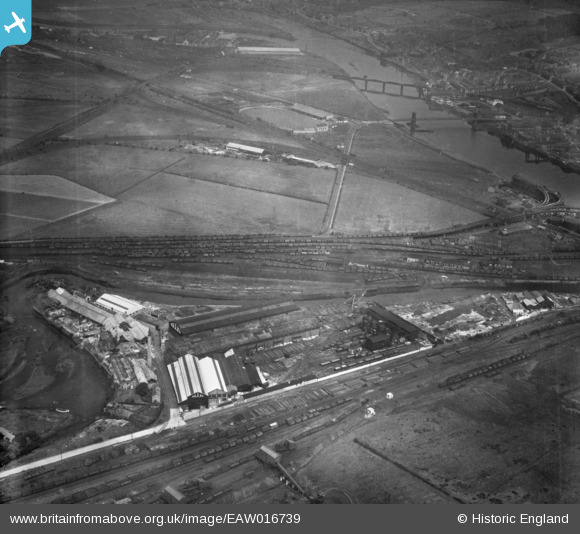
EAW016739 ENGLAND (1948). The Hannington (Ellis) Works at Derwent Haugh and adjacent railway sidings, Blaydon, 1948
© Copyright OpenStreetMap contributors and licensed by the OpenStreetMap Foundation. 2026. Cartography is licensed as CC BY-SA.
Nearby Images (10)
EAW016739
 Works at Derwent Haugh and adjacent railway sidings, Blaydon, 1948")
EAW033903

EAW016733
 Works at Derwent Haugh, Blaydon, 1948. This image was marked by Aerofilms Ltd for photo editing.")
EAW016735
 Works at Derwent Haugh, Blaydon, 1948. This image was marked by Aerofilms Ltd for photo editing.")
EAW016732
 Works at Derwent Haugh, Swalwell, 1948. This image was marked by Aerofilms Ltd for photo editing.")
EAW016734
 Works at Derwent Haugh, Swalwell, 1948. This image was marked by Aerofilms Ltd for photo editing.")
EAW016741
 Works at Derwent Haugh, Swalwell, 1948. This image was marked by Aerofilms Ltd for photo editing.")
EAW016740
 Works at Derwent Haugh, Swalwell, 1948. This image was marked by Aerofilms Ltd for photo editing.")
EAW016738
 Works at Derwent Haugh, Swalwell, from the south-east, 1948. This image was marked by Aerofilms Ltd for photo editing.")
EAW016736
 Works at Derwent Haugh, Swalwell, from the south, 1948. This image was marked by Aerofilms Ltd for photo editing.")
Details
| Title | [EAW016739] The Hannington (Ellis) Works at Derwent Haugh and adjacent railway sidings, Blaydon, 1948 |
| Reference | EAW016739 |
| Date | 24-June-1948 |
| Link | |
| Place name | BLAYDON |
| Parish | |
| District | |
| Country | ENGLAND |
| Easting / Northing | 420273, 562971 |
| Longitude / Latitude | -1.6833553309718, 54.96088317531 |
| National Grid Reference | NZ203630 |
Pins

redmist |
Tuesday 5th of November 2019 08:12:40 PM | |
|
redmist |
Tuesday 5th of November 2019 08:07:22 PM | |
|
redmist |
Tuesday 5th of November 2019 08:01:06 PM | |
|
redmist |
Tuesday 5th of November 2019 08:00:29 PM |