
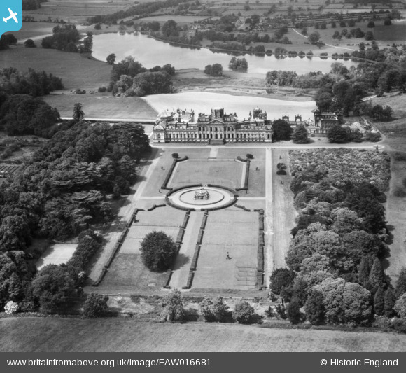
EAW016681 ENGLAND (1948). Castle Howard House and Grounds, Castle Howard, 1948
© Copyright OpenStreetMap contributors and licensed by the OpenStreetMap Foundation. 2026. Cartography is licensed as CC BY-SA.
Nearby Images (4)
EAW016681

EAW016678

EAW016682

EAW016679

Details
| Title | [EAW016681] Castle Howard House and Grounds, Castle Howard, 1948 |
| Reference | EAW016681 |
| Date | 23-June-1948 |
| Link | |
| Place name | CASTLE HOWARD |
| Parish | HENDERSKELFE |
| District | |
| Country | ENGLAND |
| Easting / Northing | 471631, 469956 |
| Longitude / Latitude | -0.90393472352631, 54.12029587687 |
| National Grid Reference | SE716700 |
Pins
Be the first to add a comment to this image!