
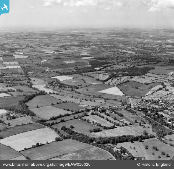
EAW016026 ENGLAND (1948). The site of Roman Verulamium, St Albans, from the south, 1948. This image has been produced from a print.
© Copyright OpenStreetMap contributors and licensed by the OpenStreetMap Foundation. 2026. Cartography is licensed as CC BY-SA.
Nearby Images (4)
EAW016026

EAW015594

EAW030234

EAW016024

Details
| Title | [EAW016026] The site of Roman Verulamium, St Albans, from the south, 1948. This image has been produced from a print. |
| Reference | EAW016026 |
| Date | 19-May-1948 |
| Link | |
| Place name | ST ALBANS |
| Parish | |
| District | |
| Country | ENGLAND |
| Easting / Northing | 513561, 206948 |
| Longitude / Latitude | -0.35477533923531, 51.749248479183 |
| National Grid Reference | TL136069 |
Pins
Be the first to add a comment to this image!