
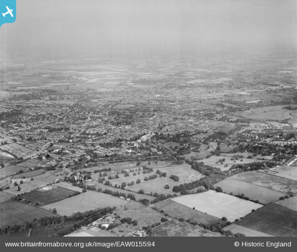
EAW015594 ENGLAND (1948). The city, St Albans, from the west, 1948
© Copyright OpenStreetMap contributors and licensed by the OpenStreetMap Foundation. 2026. Cartography is licensed as CC BY-SA.
Nearby Images (4)
EAW015594

EAW016026

EAW030234

EAW016024

Details
| Title | [EAW015594] The city, St Albans, from the west, 1948 |
| Reference | EAW015594 |
| Date | 13-May-1948 |
| Link | |
| Place name | ST ALBANS |
| Parish | |
| District | |
| Country | ENGLAND |
| Easting / Northing | 513566, 206899 |
| Longitude / Latitude | -0.3547189392396, 51.748807033158 |
| National Grid Reference | TL136069 |
Pins
Be the first to add a comment to this image!