
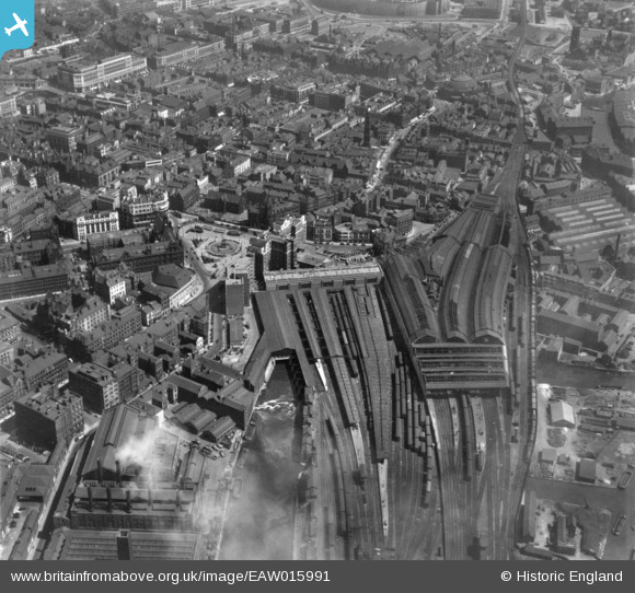
EAW015991 ENGLAND (1948). Leeds City Station and environs, Leeds, 1948. This image has been produced from a print.
© Copyright OpenStreetMap contributors and licensed by the OpenStreetMap Foundation. 2026. Cartography is licensed as CC BY-SA.
Nearby Images (8)
EAW015991

EPW057204

EAW015739

EAW015995

EAW015990

EPW015894

EPW057203

EPW015899

Details
| Title | [EAW015991] Leeds City Station and environs, Leeds, 1948. This image has been produced from a print. |
| Reference | EAW015991 |
| Date | 19-May-1948 |
| Link | |
| Place name | LEEDS |
| Parish | |
| District | |
| Country | ENGLAND |
| Easting / Northing | 429869, 433333 |
| Longitude / Latitude | -1.5465066240481, 53.795232959828 |
| National Grid Reference | SE299333 |
Pins
Be the first to add a comment to this image!