
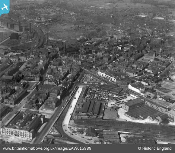
EAW015989 ENGLAND (1948). Kay Garden and the town centre, Bury, 1948. This image has been produced from a print.
© Copyright OpenStreetMap contributors and licensed by the OpenStreetMap Foundation. 2026. Cartography is licensed as CC BY-SA.
Nearby Images (7)
EAW015989

EAW015986

EPW048853

EPW018496

EAW015987

EPW018500

EAW015988

Details
| Title | [EAW015989] Kay Garden and the town centre, Bury, 1948. This image has been produced from a print. |
| Reference | EAW015989 |
| Date | 19-May-1948 |
| Link | |
| Place name | BURY |
| Parish | |
| District | |
| Country | ENGLAND |
| Easting / Northing | 380436, 410698 |
| Longitude / Latitude | -2.2956092627753, 53.59225538646 |
| National Grid Reference | SD804107 |
Pins
Be the first to add a comment to this image!