
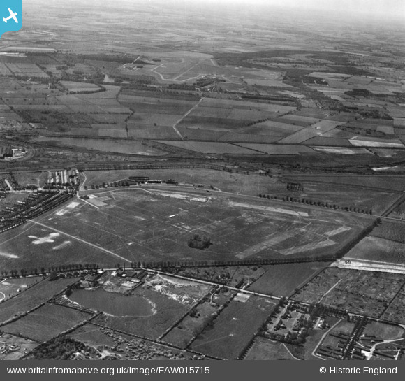
EAW015715 ENGLAND (1948). The racecourse on West Common, Lincoln, from the north-east, 1948. This image has been produced from a print.
© Copyright OpenStreetMap contributors and licensed by the OpenStreetMap Foundation. 2026. Cartography is licensed as CC BY-SA.
Nearby Images (3)
EAW015715

EAW007168

EAW007178

Details
| Title | [EAW015715] The racecourse on West Common, Lincoln, from the north-east, 1948. This image has been produced from a print. |
| Reference | EAW015715 |
| Date | 18-May-1948 |
| Link | |
| Place name | LINCOLN |
| Parish | |
| District | |
| Country | ENGLAND |
| Easting / Northing | 496315, 372484 |
| Longitude / Latitude | -0.55661722694721, 53.240354299345 |
| National Grid Reference | SK963725 |
Pins

Bristol MW |
Monday 16th of February 2026 07:26:03 PM | |
|
julian |
Wednesday 21st of June 2023 03:14:41 PM | |
|
julian |
Wednesday 21st of June 2023 03:13:24 PM | |
|
julian |
Wednesday 21st of June 2023 03:10:51 PM | |
|
redmist |
Thursday 10th of March 2022 06:55:47 PM | |
|
redmist |
Thursday 10th of March 2022 12:53:54 PM | |
|
redmist |
Thursday 10th of March 2022 12:52:40 PM | |
|
Bristol MW |
Wednesday 23rd of October 2019 06:11:36 AM |