
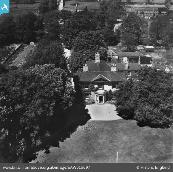
EAW015697 ENGLAND (1948). The Manor House, Skellingthorpe, 1948. This image has been produced from a print.
© Copyright OpenStreetMap contributors and licensed by the OpenStreetMap Foundation. 2026. Cartography is licensed as CC BY-SA.
Nearby Images (9)
EAW015697

EAW015698

EAW015699

EPW059447

EPW059448

EPW059452

EPW059449

EPW059451

EPW059450

Details
| Title | [EAW015697] The Manor House, Skellingthorpe, 1948. This image has been produced from a print. |
| Reference | EAW015697 |
| Date | 13-May-1948 |
| Link | |
| Place name | SKELLINGTHORPE |
| Parish | SKELLINGTHORPE |
| District | |
| Country | ENGLAND |
| Easting / Northing | 492644, 371903 |
| Longitude / Latitude | -0.61178201811611, 53.235786031595 |
| National Grid Reference | SK926719 |
Pins
Be the first to add a comment to this image!