
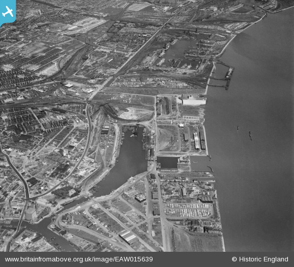
EAW015639 ENGLAND (1948). Victoria Dock and environs, Kingston upon Hull, 1948
© Copyright OpenStreetMap contributors and licensed by the OpenStreetMap Foundation. 2026. Cartography is licensed as CC BY-SA.
Nearby Images (4)
EAW015639

EPW010815

EPW010811

EAW015660

Details
| Title | [EAW015639] Victoria Dock and environs, Kingston upon Hull, 1948 |
| Reference | EAW015639 |
| Date | 18-May-1948 |
| Link | |
| Place name | KINGSTON UPON HULL |
| Parish | |
| District | |
| Country | ENGLAND |
| Easting / Northing | 511247, 428829 |
| Longitude / Latitude | -0.31296352008311, 53.743730459966 |
| National Grid Reference | TA112288 |
Pins

redmist |
Thursday 21st of October 2021 11:21:39 AM | |
|
redmist |
Thursday 21st of October 2021 11:19:25 AM | |
|
redmist |
Thursday 21st of October 2021 11:11:32 AM | |
|
redmist |
Thursday 21st of October 2021 11:10:45 AM | |
|
redmist |
Thursday 21st of October 2021 11:06:52 AM | |
|
redmist |
Thursday 21st of October 2021 11:03:46 AM | |
|
John Wass |
Saturday 14th of February 2015 02:22:33 PM | |
|
John Wass |
Saturday 14th of February 2015 02:20:27 PM | |
|
John Wass |
Tuesday 11th of November 2014 09:46:47 PM | |
|
John Wass |
Tuesday 11th of November 2014 09:45:00 PM | |
|
John Wass |
Tuesday 11th of November 2014 09:43:45 PM |