
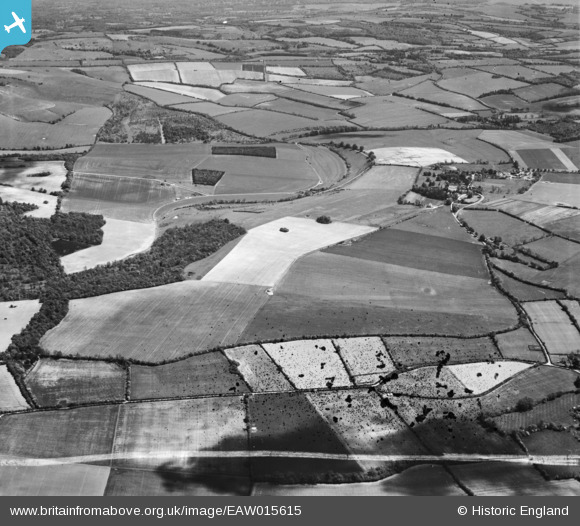
EAW015615 ENGLAND (1948). Linkenholt Hanging and the village, Linkenholt, 1948. This image has been produced from a damaged negative.
© Copyright OpenStreetMap contributors and licensed by the OpenStreetMap Foundation. 2026. Cartography is licensed as CC BY-SA.
Nearby Images (2)
EAW015615

EAW015614

Details
| Title | [EAW015615] Linkenholt Hanging and the village, Linkenholt, 1948. This image has been produced from a damaged negative. |
| Reference | EAW015615 |
| Date | 14-May-1948 |
| Link | |
| Place name | LINKENHOLT |
| Parish | LINKENHOLT |
| District | |
| Country | ENGLAND |
| Easting / Northing | 435674, 158564 |
| Longitude / Latitude | -1.4879724964786, 51.324553928052 |
| National Grid Reference | SU357586 |
Pins
Be the first to add a comment to this image!