
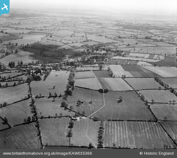
EAW015366 ENGLAND (1948). The village and surrounding countryside, Wardington, from the north-west, 1948
© Copyright OpenStreetMap contributors and licensed by the OpenStreetMap Foundation. 2026. Cartography is licensed as CC BY-SA.
Nearby Images (4)
EAW015366

EAW015364

EAW015367

EAW015365

Details
| Title | [EAW015366] The village and surrounding countryside, Wardington, from the north-west, 1948 |
| Reference | EAW015366 |
| Date | 6-May-1948 |
| Link | |
| Place name | WARDINGTON |
| Parish | WARDINGTON |
| District | |
| Country | ENGLAND |
| Easting / Northing | 448408, 246833 |
| Longitude / Latitude | -1.2929421376457, 52.117282751338 |
| National Grid Reference | SP484468 |
Pins
Be the first to add a comment to this image!