
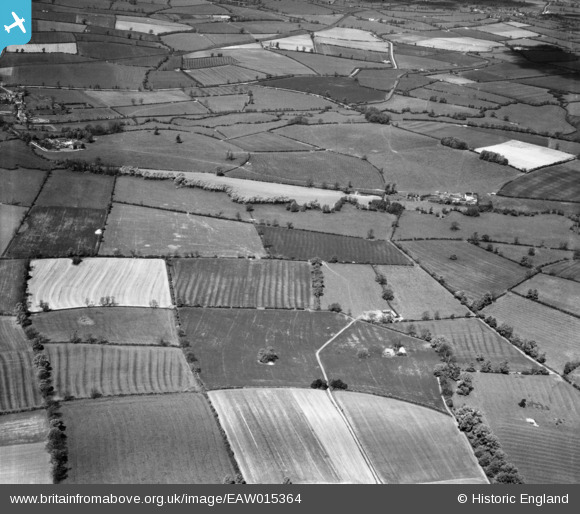
EAW015364 ENGLAND (1948). Countryside to the west of Cropredy around the site of the Battle of Cropredy Bridge, Wardington, from the south-east, 1948
© Copyright OpenStreetMap contributors and licensed by the OpenStreetMap Foundation. 2026. Cartography is licensed as CC BY-SA.
Nearby Images (3)
EAW015364

EAW015363

EAW015366

Details
| Title | [EAW015364] Countryside to the west of Cropredy around the site of the Battle of Cropredy Bridge, Wardington, from the south-east, 1948 |
| Reference | EAW015364 |
| Date | 6-May-1948 |
| Link | |
| Place name | WARDINGTON |
| Parish | WARDINGTON |
| District | |
| Country | ENGLAND |
| Easting / Northing | 448250, 246833 |
| Longitude / Latitude | -1.2952497309841, 52.11729656566 |
| National Grid Reference | SP483468 |
Pins

Frangellica |
Thursday 2nd of March 2023 05:05:43 PM | |
|
Frangellica |
Thursday 2nd of March 2023 05:04:32 PM |