
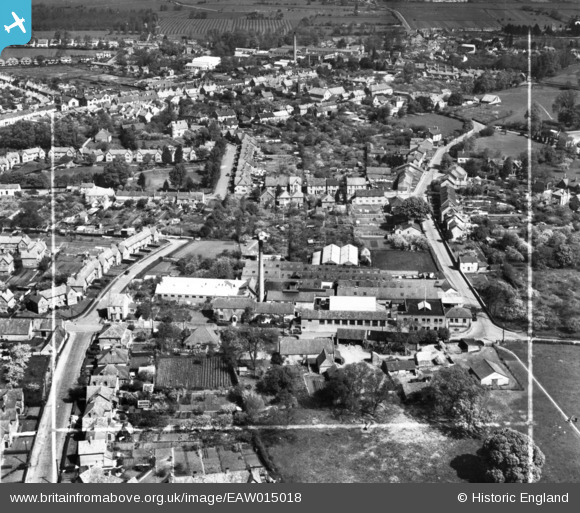
EAW015018 ENGLAND (1948). Middle Leigh Tannery, Street, 1948. This image has been produced from a print marked by Aerofilms Ltd for photo editing.
© Copyright OpenStreetMap contributors and licensed by the OpenStreetMap Foundation. 2026. Cartography is licensed as CC BY-SA.
Nearby Images (9)
EAW015018

EAW015019
, Street, 1948. This image was modified by the Aerofilms Ltd Artists' Department and has been produced from a copy-negative.")
EAW012986

EAW015021

EAW015020

EAW015022

EAW012987

EAW015017

EAW013000

Details
| Title | [EAW015018] Middle Leigh Tannery, Street, 1948. This image has been produced from a print marked by Aerofilms Ltd for photo editing. |
| Reference | EAW015018 |
| Date | 27-April-1948 |
| Link | |
| Place name | STREET |
| Parish | STREET |
| District | |
| Country | ENGLAND |
| Easting / Northing | 348306, 136096 |
| Longitude / Latitude | -2.7387033535872, 51.121286835255 |
| National Grid Reference | ST483361 |
Pins
Be the first to add a comment to this image!