
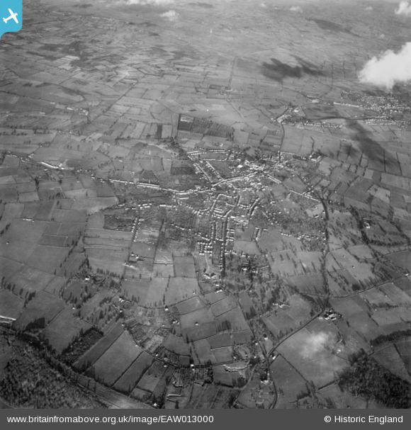
EAW013000 ENGLAND (1948). The town and surrounding countryside, Street, 1948. This image has been produced from a print.
© Copyright OpenStreetMap contributors and licensed by the OpenStreetMap Foundation. 2026. Cartography is licensed as CC BY-SA.
Nearby Images (10)
EAW013000

EAW013101

EAW012987

EAW013102

EAW012990

EAW015020

EAW015018

EAW015022

EAW015021

EAW015017

Details
| Title | [EAW013000] The town and surrounding countryside, Street, 1948. This image has been produced from a print. |
| Reference | EAW013000 |
| Date | 22-January-1948 |
| Link | |
| Place name | STREET |
| Parish | STREET |
| District | |
| Country | ENGLAND |
| Easting / Northing | 348057, 136147 |
| Longitude / Latitude | -2.7422685753569, 51.12172291572 |
| National Grid Reference | ST481361 |
Pins
Be the first to add a comment to this image!