
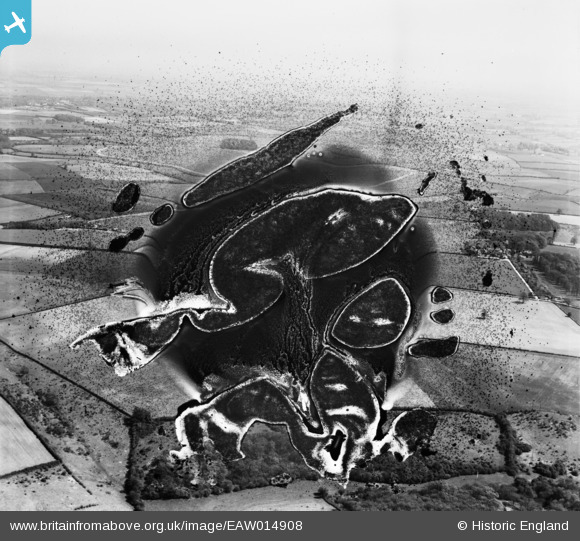
EAW014908 ENGLAND (1948). Wisdom's Copse and surrounding countryside, Asthall Leigh, from the west, 1948. This image has been produced from a damaged negative.
© Copyright OpenStreetMap contributors and licensed by the OpenStreetMap Foundation. 2026. Cartography is licensed as CC BY-SA.
Nearby Images (2)
EAW014908

EAW014909
 at Wisdom's Copse and surrounding countryside, Asthall Leigh, from the west, 1948. This image has been produced from a damaged negative.")
Details
| Title | [EAW014908] Wisdom's Copse and surrounding countryside, Asthall Leigh, from the west, 1948. This image has been produced from a damaged negative. |
| Reference | EAW014908 |
| Date | 26-April-1948 |
| Link | |
| Place name | ASTHALL LEIGH |
| Parish | ASTHAL |
| District | |
| Country | ENGLAND |
| Easting / Northing | 431461, 212794 |
| Longitude / Latitude | -1.5435823033166, 51.812445268915 |
| National Grid Reference | SP315128 |
Pins
Be the first to add a comment to this image!