
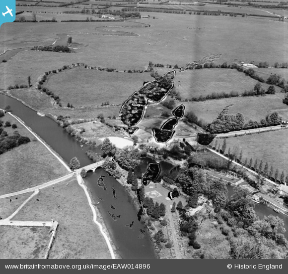
EAW014896 ENGLAND (1948). Godstow Bridge, Wolvercote, 1948. This image has been produced from a damaged negative.
© Copyright OpenStreetMap contributors and licensed by the OpenStreetMap Foundation. 2026. Cartography is licensed as CC BY-SA.
Nearby Images (2)
EAW014896

EPW022511

Details
| Title | [EAW014896] Godstow Bridge, Wolvercote, 1948. This image has been produced from a damaged negative. |
| Reference | EAW014896 |
| Date | 26-April-1948 |
| Link | |
| Place name | WOLVERCOTE |
| Parish | |
| District | |
| Country | ENGLAND |
| Easting / Northing | 448402, 209317 |
| Longitude / Latitude | -1.2983140739199, 51.779971702588 |
| National Grid Reference | SP484093 |
Pins
Be the first to add a comment to this image!