
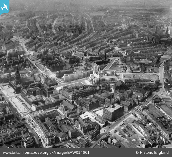
EAW014661 ENGLAND (1948). The Civic Hall and environs, Leeds, 1948
© Copyright OpenStreetMap contributors and licensed by the OpenStreetMap Foundation. 2026. Cartography is licensed as CC BY-SA.
Nearby Images (16)
EAW014661

EPW052168

EPW043168

EAW015994

EPW043169

EAW015993

EAW014658

EAW014660

EAW013812

EPW057196

EAW014659

EAW013813

EPW015898

EAW013810

EPW057199

EPW057200

Details
| Title | [EAW014661] The Civic Hall and environs, Leeds, 1948 |
| Reference | EAW014661 |
| Date | 21-April-1948 |
| Link | |
| Place name | LEEDS |
| Parish | |
| District | |
| Country | ENGLAND |
| Easting / Northing | 429788, 434054 |
| Longitude / Latitude | -1.5476666476658, 53.80171847945 |
| National Grid Reference | SE298341 |
Pins

redmist |
Monday 4th of October 2021 08:38:33 PM |