
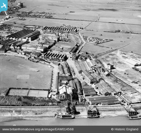
EAW014568 ENGLAND (1948). British Insulated Cables Ltd Works, Erith, 1948
© Copyright OpenStreetMap contributors and licensed by the OpenStreetMap Foundation. 2026. Cartography is licensed as CC BY-SA.
Nearby Images (48)
EAW014568

EAW014573

EPW062290

EAW048353

EAW048354

EPW037310

EPW037307

EPW037909

EPW062289

EAW014566

EPW037904

EPW037312

EPW037313

EAW048357

EPW060660

EPW060659

EPW060655

EPW060717

EPW037308

EPW060665

EAW048348

EAW048358

EPW060662

EPW062291

EPW060658

EPW060663

EAW014570

EAW048356

EPW060712

EAW048352

EAW048345

EAW020312

EPW060661

EAW048346

EPW060652

EPW060664

EPW062292

EAW014567

EAW014572

EAW048351

EPW060653

EPW060657

EPW060713

EPW060654

EPW060715

EAW048347

EPW060714

EAW048355

Details
| Title | [EAW014568] British Insulated Cables Ltd Works, Erith, 1948 |
| Reference | EAW014568 |
| Date | 16-April-1948 |
| Link | |
| Place name | ERITH |
| Parish | |
| District | |
| Country | ENGLAND |
| Easting / Northing | 550625, 179679 |
| Longitude / Latitude | 0.17010033362344, 51.495474692876 |
| National Grid Reference | TQ506797 |
Pins
Be the first to add a comment to this image!