
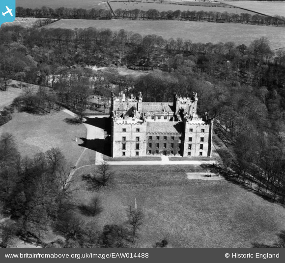
EAW014488 ENGLAND (1948). Lumley Castle, Lumley Castle, 1948
© Copyright OpenStreetMap contributors and licensed by the OpenStreetMap Foundation. 2026. Cartography is licensed as CC BY-SA.
Nearby Images (9)
EAW014488

EAW005506

EAW014487

EAW005507

EAW014486

EAW005510

EAW005508

EAW005509

EAW005511

Details
| Title | [EAW014488] Lumley Castle, Lumley Castle, 1948 |
| Reference | EAW014488 |
| Date | 15-April-1948 |
| Link | |
| Place name | LUMLEY CASTLE |
| Parish | LITTLE LUMLEY |
| District | |
| Country | ENGLAND |
| Easting / Northing | 428764, 551028 |
| Longitude / Latitude | -1.5519315598159, 54.853132857389 |
| National Grid Reference | NZ288510 |
Pins

Paul McK |
Saturday 5th of November 2022 01:57:17 AM |