
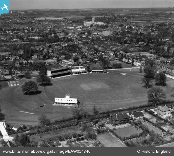
EAW014340 ENGLAND (1948). The Kent County Cricket Ground (St Lawrence Ground), Canterbury, from the south-east, 1948. This image has been produced from a print.
© Copyright OpenStreetMap contributors and licensed by the OpenStreetMap Foundation. 2026. Cartography is licensed as CC BY-SA.
Nearby Images (13)
EAW014340
, Canterbury, from the south-east, 1948. This image has been produced from a print.")
EPW018610
, Canterbury, 1927")
EPW018614
, Canterbury, 1927")
EPW018613
, Canterbury, 1927")
EPW038145

EAW031807

EAW014338
, Canterbury, 1948. This image has been produced from a print.")
EPW018611
, Canterbury, 1927")
EAW014341
, Canterbury, from the north-east, 1948. This image has been produced from a print.")
EAW031806

EAW014339
, Canterbury, 1948. This image has been produced from a print.")
EAW014337
, Canterbury, 1948. This image has been produced from a print.")
EAW031805

Details
| Title | [EAW014340] The Kent County Cricket Ground (St Lawrence Ground), Canterbury, from the south-east, 1948. This image has been produced from a print. |
| Reference | EAW014340 |
| Date | 13-April-1948 |
| Link | |
| Place name | CANTERBURY |
| Parish | |
| District | |
| Country | ENGLAND |
| Easting / Northing | 615807, 156496 |
| Longitude / Latitude | 1.0938604720521, 51.266184936656 |
| National Grid Reference | TR158565 |
Pins
Be the first to add a comment to this image!