
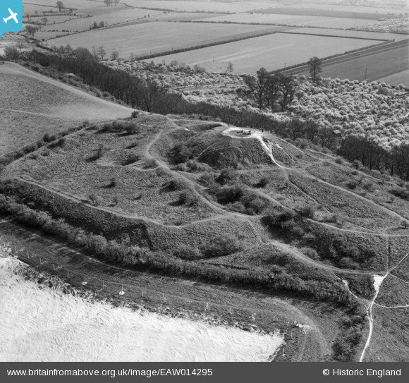
EAW014295 ENGLAND (1948). Totternhoe Castle, Totternhoe, 1948
© Copyright OpenStreetMap contributors and licensed by the OpenStreetMap Foundation. 2026. Cartography is licensed as CC BY-SA.
Nearby Images (3)
EAW014295

EAW014292

EAW014294

Details
| Title | [EAW014295] Totternhoe Castle, Totternhoe, 1948 |
| Reference | EAW014295 |
| Date | 12-April-1948 |
| Link | |
| Place name | TOTTERNHOE |
| Parish | TOTTERNHOE |
| District | |
| Country | ENGLAND |
| Easting / Northing | 497915, 222119 |
| Longitude / Latitude | -0.57707672170002, 51.888578156296 |
| National Grid Reference | SP979221 |
Pins
Be the first to add a comment to this image!