
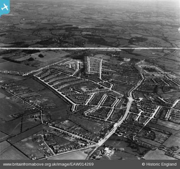
EAW014269 ENGLAND (1948). Collier Row Road and the development of Havering Park, Collier Row, 1948. This image has been produced from a print marked by Aerofilms Ltd for photo-editing.
© Copyright OpenStreetMap contributors and licensed by the OpenStreetMap Foundation. 2026. Cartography is licensed as CC BY-SA.
Nearby Images (5)
EAW014269

EAW014272

EAW014271

EAW014268

EAW014270

Details
| Title | [EAW014269] Collier Row Road and the development of Havering Park, Collier Row, 1948. This image has been produced from a print marked by Aerofilms Ltd for photo-editing. |
| Reference | EAW014269 |
| Date | 12-April-1948 |
| Link | |
| Place name | COLLIER ROW |
| Parish | |
| District | |
| Country | ENGLAND |
| Easting / Northing | 550086, 191670 |
| Longitude / Latitude | 0.16745737709642, 51.60336926558 |
| National Grid Reference | TQ501917 |
Pins
Be the first to add a comment to this image!