
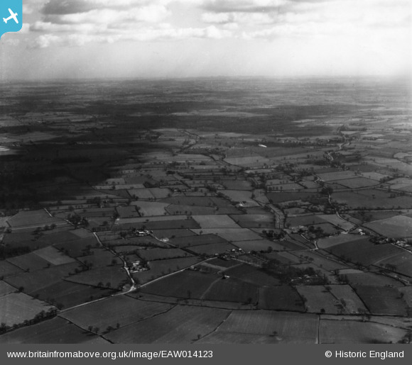
EAW014123 ENGLAND (1948). Countryside around School Farm and College Farm, St Cross South Elmham, from the west, 1948. This image has been produced from a print.
© Copyright OpenStreetMap contributors and licensed by the OpenStreetMap Foundation. 2026. Cartography is licensed as CC BY-SA.
Nearby Images (4)
EAW014123

EAW014060

EAW014059

EAW014122

Details
| Title | [EAW014123] Countryside around School Farm and College Farm, St Cross South Elmham, from the west, 1948. This image has been produced from a print. |
| Reference | EAW014123 |
| Date | 23-March-1948 |
| Link | |
| Place name | ST CROSS SOUTH ELMHAM |
| Parish | ST. CROSS, SOUTH ELMHAM |
| District | |
| Country | ENGLAND |
| Easting / Northing | 629725, 284485 |
| Longitude / Latitude | 1.3780354861832, 52.409671260432 |
| National Grid Reference | TM297845 |
Pins
Be the first to add a comment to this image!