
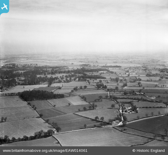
EAW014061 ENGLAND (1948). School Farm, Cartwright's Plantation and the surrounding countryside, St Cross South Elmham, from the west, 1948
© Copyright OpenStreetMap contributors and licensed by the OpenStreetMap Foundation. 2026. Cartography is licensed as CC BY-SA.
Nearby Images (5)
EAW014061

EAW014062

EAW014124

EAW014059

EAW014060

Details
| Title | [EAW014061] School Farm, Cartwright's Plantation and the surrounding countryside, St Cross South Elmham, from the west, 1948 |
| Reference | EAW014061 |
| Date | 25-March-1948 |
| Link | |
| Place name | ST CROSS SOUTH ELMHAM |
| Parish | ST. CROSS, SOUTH ELMHAM |
| District | |
| Country | ENGLAND |
| Easting / Northing | 629558, 284856 |
| Longitude / Latitude | 1.3758389529366, 52.413071251405 |
| National Grid Reference | TM296849 |
Pins
Be the first to add a comment to this image!