
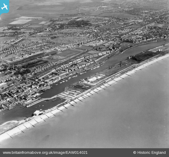
EAW014021 ENGLAND (1948). Shoreham Harbour and environs, Southwick, 1948
© Copyright OpenStreetMap contributors and licensed by the OpenStreetMap Foundation. 2026. Cartography is licensed as CC BY-SA.
Nearby Images (9)
EAW014021

EAW014027

EAW014028

EAW014026

EAW014029

EAW014025

EPW043901

EPW043906

EAW014022

Details
| Title | [EAW014021] Shoreham Harbour and environs, Southwick, 1948 |
| Reference | EAW014021 |
| Date | 23-March-1948 |
| Link | |
| Place name | SOUTHWICK |
| Parish | |
| District | |
| Country | ENGLAND |
| Easting / Northing | 524679, 104975 |
| Longitude / Latitude | -0.2293999151834, 50.830305135367 |
| National Grid Reference | TQ247050 |
Pins

Matt Aldred edob.mattaldred.com |
Friday 7th of February 2025 03:18:10 PM |