
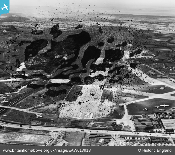
EAW013918 ENGLAND (1948). Bristol Filton Airport, Filton, from the east, 1948. This image has been produced from a damaged negative.
© Copyright OpenStreetMap contributors and licensed by the OpenStreetMap Foundation. 2026. Cartography is licensed as CC BY-SA.
Nearby Images (12)
EAW013918

EAW013916

EAW003553

EAW013915

EAW013919

EAW007146

EPW029358

EAW009943

EAW009941

EAW009942

EAW009940

EAW007137

Details
| Title | [EAW013918] Bristol Filton Airport, Filton, from the east, 1948. This image has been produced from a damaged negative. |
| Reference | EAW013918 |
| Date | 22-March-1948 |
| Link | |
| Place name | FILTON |
| Parish | FILTON |
| District | |
| Country | ENGLAND |
| Easting / Northing | 360395, 180223 |
| Longitude / Latitude | -2.5708674808972, 51.519055393647 |
| National Grid Reference | ST604802 |
Pins
Be the first to add a comment to this image!