
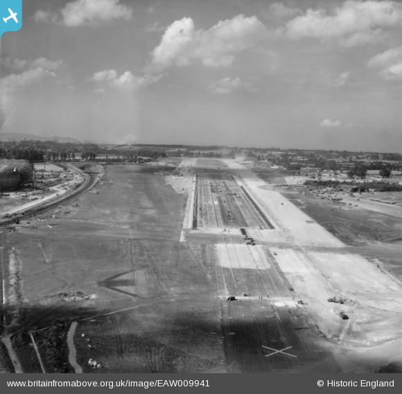
EAW009941 ENGLAND (1947). Bristol Filton Airport under construction, Filton, from the east, 1947
© Copyright OpenStreetMap contributors and licensed by the OpenStreetMap Foundation. 2026. Cartography is licensed as CC BY-SA.
Nearby Images (20)
EAW009941

EAW007146

EAW007137

EAW003554

EAW013919

EAW004176

EAW009942

EAW009943

EAW026947

EAW026948

EAW009940

EAW013915

EPW029358

EAW009939

EAW003553

EAW013920

EAW007135

EAW013918

EAW013916

EAW012430

Details
| Title | [EAW009941] Bristol Filton Airport under construction, Filton, from the east, 1947 |
| Reference | EAW009941 |
| Date | 3-September-1947 |
| Link | |
| Place name | FILTON |
| Parish | FILTON |
| District | |
| Country | ENGLAND |
| Easting / Northing | 360181, 180161 |
| Longitude / Latitude | -2.5739449086403, 51.518482838241 |
| National Grid Reference | ST602802 |
Pins

Matt Aldred edob.mattaldred.com |
Thursday 11th of March 2021 04:31:44 PM | |

redmist |
Tuesday 17th of November 2020 10:33:03 PM | |
|
redmist |
Tuesday 17th of November 2020 10:31:42 PM | |
|
redmist |
Tuesday 17th of November 2020 10:31:08 PM |