
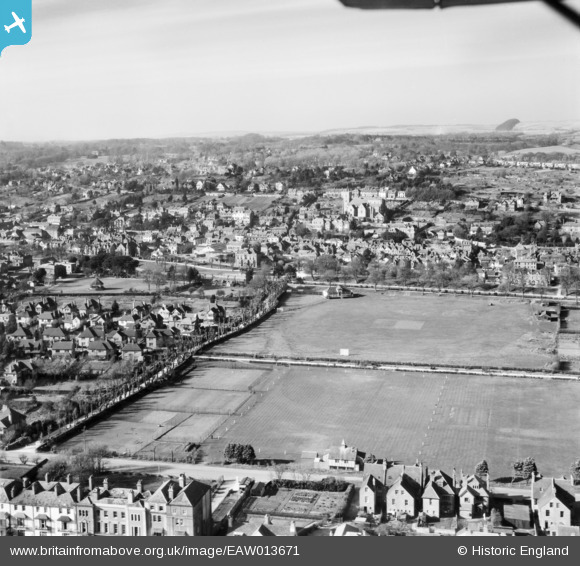
EAW013671 ENGLAND (1948). The town, Hythe, from the south-east, 1948
© Copyright OpenStreetMap contributors and licensed by the OpenStreetMap Foundation. 2026. Cartography is licensed as CC BY-SA.
Nearby Images (3)
EAW013671

EPW026125

EPW026126

Details
| Title | [EAW013671] The town, Hythe, from the south-east, 1948 |
| Reference | EAW013671 |
| Date | 10-March-1948 |
| Link | |
| Place name | HYTHE |
| Parish | HYTHE |
| District | |
| Country | ENGLAND |
| Easting / Northing | 616430, 134383 |
| Longitude / Latitude | 1.0894700396294, 51.067376646443 |
| National Grid Reference | TR164344 |
Pins

splumb |
Friday 25th of July 2025 02:23:20 PM | |
|
Paolo |
Thursday 9th of October 2014 09:01:08 PM | |
|
mh |
Friday 26th of September 2014 08:52:39 PM | |
|
mh |
Friday 26th of September 2014 08:52:03 PM | |

Alan McFaden |
Sunday 20th of July 2014 10:58:55 AM | |
|
Alan McFaden |
Wednesday 9th of July 2014 10:49:33 PM | |
|
Alan McFaden |
Wednesday 9th of July 2014 10:48:47 PM | |
|
Mike Floate |
Sunday 27th of April 2014 08:10:06 PM | |
|
Paolo |
Saturday 7th of December 2013 04:19:52 PM | |
|
Paolo |
Saturday 7th of December 2013 04:18:48 PM | |
|
Paolo |
Saturday 7th of December 2013 04:16:50 PM | |
|
shunter |
Monday 4th of November 2013 07:27:28 PM |


