
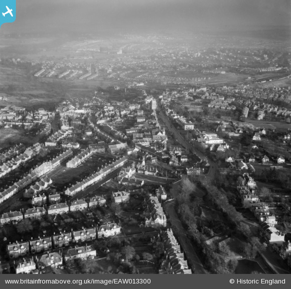
EAW013300 ENGLAND (1948). The town centre, Barnet, from the north-west, 1948
© Copyright OpenStreetMap contributors and licensed by the OpenStreetMap Foundation. 2026. Cartography is licensed as CC BY-SA.
Nearby Images (3)
EAW013300

EAW053311

EPW025446

Details
| Title | [EAW013300] The town centre, Barnet, from the north-west, 1948 |
| Reference | EAW013300 |
| Date | 12-February-1948 |
| Link | |
| Place name | BARNET |
| Parish | |
| District | |
| Country | ENGLAND |
| Easting / Northing | 524070, 196522 |
| Longitude / Latitude | -0.20631271551427, 51.653312782763 |
| National Grid Reference | TQ241965 |
Pins

a christie |
Saturday 5th of September 2020 03:32:12 PM |