
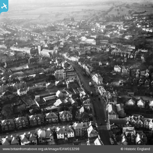
EAW013298 ENGLAND (1948). The High Street, Barnet, 1948
© Copyright OpenStreetMap contributors and licensed by the OpenStreetMap Foundation. 2026. Cartography is licensed as CC BY-SA.
Nearby Images (6)
EAW013298

EPW001548

EPW001547

EPW013419

EAW013299

EPW001544

Details
| Title | [EAW013298] The High Street, Barnet, 1948 |
| Reference | EAW013298 |
| Date | 12-February-1948 |
| Link | |
| Place name | BARNET |
| Parish | |
| District | |
| Country | ENGLAND |
| Easting / Northing | 524694, 196388 |
| Longitude / Latitude | -0.19734410036732, 51.651970324909 |
| National Grid Reference | TQ247964 |
Pins

Patholio |
Thursday 10th of July 2025 09:00:17 AM |