
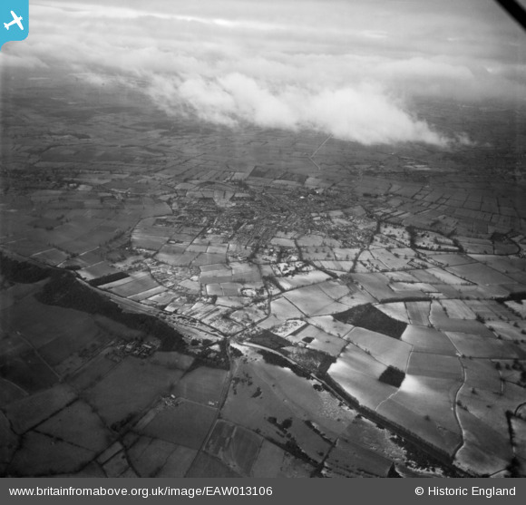
EAW013106 ENGLAND (1948). The village and surrounding countryside, Street, 1948
© Copyright OpenStreetMap contributors and licensed by the OpenStreetMap Foundation. 2026. Cartography is licensed as CC BY-SA.
Nearby Images (2)
EAW013106

EAW013103

Details
| Title | [EAW013106] The village and surrounding countryside, Street, 1948 |
| Reference | EAW013106 |
| Date | 21-January-1948 |
| Link | |
| Place name | STREET |
| Parish | STREET |
| District | |
| Country | ENGLAND |
| Easting / Northing | 348245, 135734 |
| Longitude / Latitude | -2.739522986951, 51.118026098266 |
| National Grid Reference | ST482357 |
Pins
Be the first to add a comment to this image!