
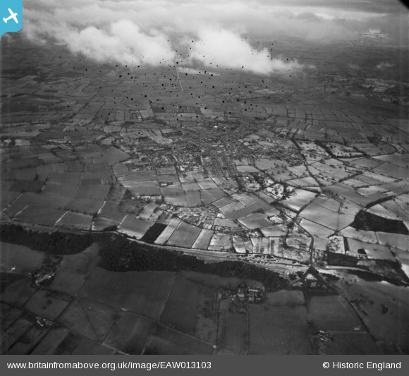
EAW013103 ENGLAND (1948). The village and surrounding countryside, Street, 1948. This image has been produced from a damaged negative.
© Copyright OpenStreetMap contributors and licensed by the OpenStreetMap Foundation. 2026. Cartography is licensed as CC BY-SA.
Nearby Images (2)
EAW013103

EAW013106

Details
| Title | [EAW013103] The village and surrounding countryside, Street, 1948. This image has been produced from a damaged negative. |
| Reference | EAW013103 |
| Date | 21-January-1948 |
| Link | |
| Place name | STREET |
| Parish | STREET |
| District | |
| Country | ENGLAND |
| Easting / Northing | 348029, 135542 |
| Longitude / Latitude | -2.7425814387064, 51.116280011594 |
| National Grid Reference | ST480355 |
Pins
Be the first to add a comment to this image!