
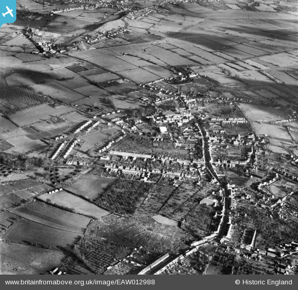
EAW012988 ENGLAND (1948). The town, Street, from the south-west, 1948
© Copyright OpenStreetMap contributors and licensed by the OpenStreetMap Foundation. 2026. Cartography is licensed as CC BY-SA.
Nearby Images (3)
EAW012988

EAW013104

EAW012990

Details
| Title | [EAW012988] The town, Street, from the south-west, 1948 |
| Reference | EAW012988 |
| Date | 22-January-1948 |
| Link | |
| Place name | STREET |
| Parish | STREET |
| District | |
| Country | ENGLAND |
| Easting / Northing | 347852, 136493 |
| Longitude / Latitude | -2.7452478372817, 51.124815631117 |
| National Grid Reference | ST479365 |


