
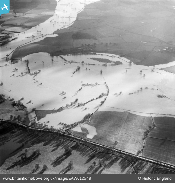
EAW012548 ENGLAND (1948). The River Severn in flood, Atcham, 1948
© Copyright OpenStreetMap contributors and licensed by the OpenStreetMap Foundation. 2025. Cartography is licensed as CC BY-SA.
Nearby Images (3)
EAW012548

EAW012549

EAW012547

Details
| Title | [EAW012548] The River Severn in flood, Atcham, 1948 |
| Reference | EAW012548 |
| Date | 14-January-1948 |
| Link | |
| Place name | ATCHAM |
| Parish | ATCHAM |
| District | |
| Country | ENGLAND |
| Easting / Northing | 355109, 308779 |
| Longitude / Latitude | -2.6639985943538, 52.674507496121 |
| National Grid Reference | SJ551088 |
Pins
Be the first to add a comment to this image!