
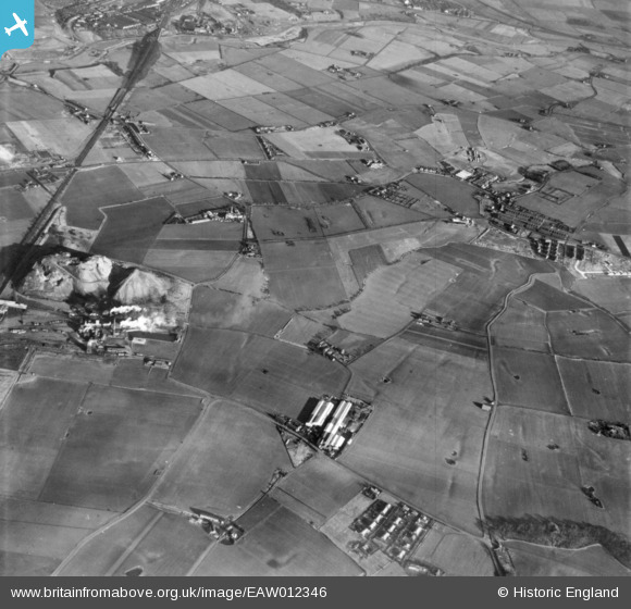
EAW012346 ENGLAND (1947). Bold Iron Works, Bold Colliery, Burtonwood Brewery and surrounding countryside, Burtonwood, 1947. This image has been produced from a print.
© Copyright OpenStreetMap contributors and licensed by the OpenStreetMap Foundation. 2026. Cartography is licensed as CC BY-SA.
Nearby Images (5)
EAW012346

EAW012347

EAW012349

EAW012303

EAW012302

Details
| Title | [EAW012346] Bold Iron Works, Bold Colliery, Burtonwood Brewery and surrounding countryside, Burtonwood, 1947. This image has been produced from a print. |
| Reference | EAW012346 |
| Date | 26-November-1947 |
| Link | |
| Place name | BURTONWOOD |
| Parish | BURTONWOOD AND WESTBROOK |
| District | |
| Country | ENGLAND |
| Easting / Northing | 355384, 393102 |
| Longitude / Latitude | -2.6716152418575, 53.432554292288 |
| National Grid Reference | SJ554931 |
Pins
Be the first to add a comment to this image!