
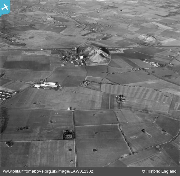
EAW012302 ENGLAND (1947). Bold Iron Works, Bold Colliery and surrounding countryside, Bold Heath, 1947. This image has been produced from a print.
© Copyright OpenStreetMap contributors and licensed by the OpenStreetMap Foundation. 2026. Cartography is licensed as CC BY-SA.
Nearby Images (6)
EAW012302

EAW017323

EAW017327

EAW012346

EAW012347

EAW017328

Details
| Title | [EAW012302] Bold Iron Works, Bold Colliery and surrounding countryside, Bold Heath, 1947. This image has been produced from a print. |
| Reference | EAW012302 |
| Date | 26-November-1947 |
| Link | |
| Place name | BOLD HEATH |
| Parish | BOLD |
| District | |
| Country | ENGLAND |
| Easting / Northing | 355148, 392954 |
| Longitude / Latitude | -2.6751464521086, 53.43120390361 |
| National Grid Reference | SJ551930 |
Pins
Be the first to add a comment to this image!