
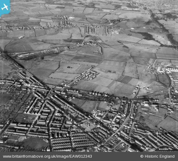
EAW012343 ENGLAND (1947). The town and environs, Earlestown, 1947. This image has been produced from a print.
© Copyright OpenStreetMap contributors and licensed by the OpenStreetMap Foundation. 2025. Cartography is licensed as CC BY-SA.
Nearby Images (3)
EAW012343

EAW012327

EAW012342

Details
| Title | [EAW012343] The town and environs, Earlestown, 1947. This image has been produced from a print. |
| Reference | EAW012343 |
| Date | 26-November-1947 |
| Link | |
| Place name | EARLESTOWN |
| Parish | |
| District | |
| Country | ENGLAND |
| Easting / Northing | 357341, 395988 |
| Longitude / Latitude | -2.6425494904541, 53.458658473138 |
| National Grid Reference | SJ573960 |
Pins
Be the first to add a comment to this image!