
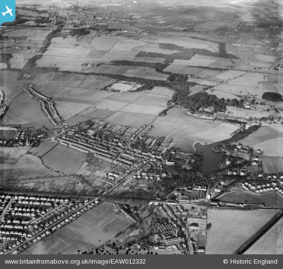
EAW012332 ENGLAND (1947). The High Street and environs, Newton-Le-Willows, 1947
© Copyright OpenStreetMap contributors and licensed by the OpenStreetMap Foundation. 2026. Cartography is licensed as CC BY-SA.
Nearby Images (2)
EAW012332

EAW012331

Details
| Title | [EAW012332] The High Street and environs, Newton-Le-Willows, 1947 |
| Reference | EAW012332 |
| Date | 26-November-1947 |
| Link | |
| Place name | NEWTON-LE-WILLOWS |
| Parish | |
| District | |
| Country | ENGLAND |
| Easting / Northing | 359105, 396037 |
| Longitude / Latitude | -2.6159874072815, 53.459238855907 |
| National Grid Reference | SJ591960 |
